


Description
Details
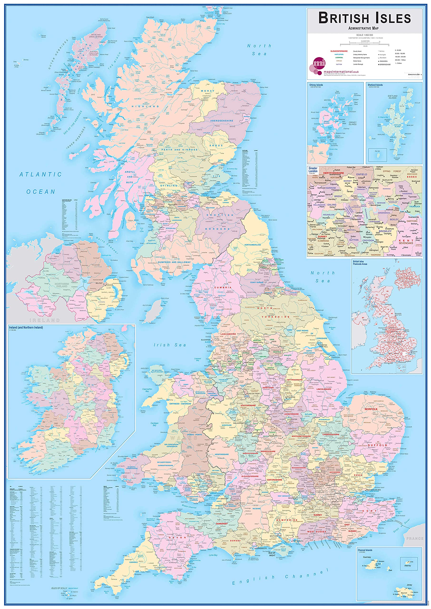
Maps International Huge British Isles Administrative Map Laminated – 115.3cm (w) x 163.2cm (h), Laminated 115.3cm (w) x 163.2cm (h): Shows counties and unitary authorities in different colours. Boroughs and districts are also shown on this map as well as towns and cities. Approximate Scale: 1:60m. Created by expert cartographers, the large wall map of the UK works as colourful and educational piece of home or office decoration.
Key features
- Shows counties and unitary authorities in different colours. Boroughs and districts are also shown on this map as well as towns and cities. Approximate Scale: 1:60m
- Created by expert cartographers, the large wall map of the UK works as colourful and educational piece of home or office decoration
- Your colourful map of the UK poster is rolled in a tube for delivery so it arrives ready to display
- Colour: Laminated 115.3cm (w) x 163.2cm (h)
Product specifics
- Brand: Maps International
- Category: Educational Charts & Posters
- Colour: Laminated 115.3cm (w) x 163.2cm (h)
- Part number: UK00263_H_LAMIN