


Description
Details
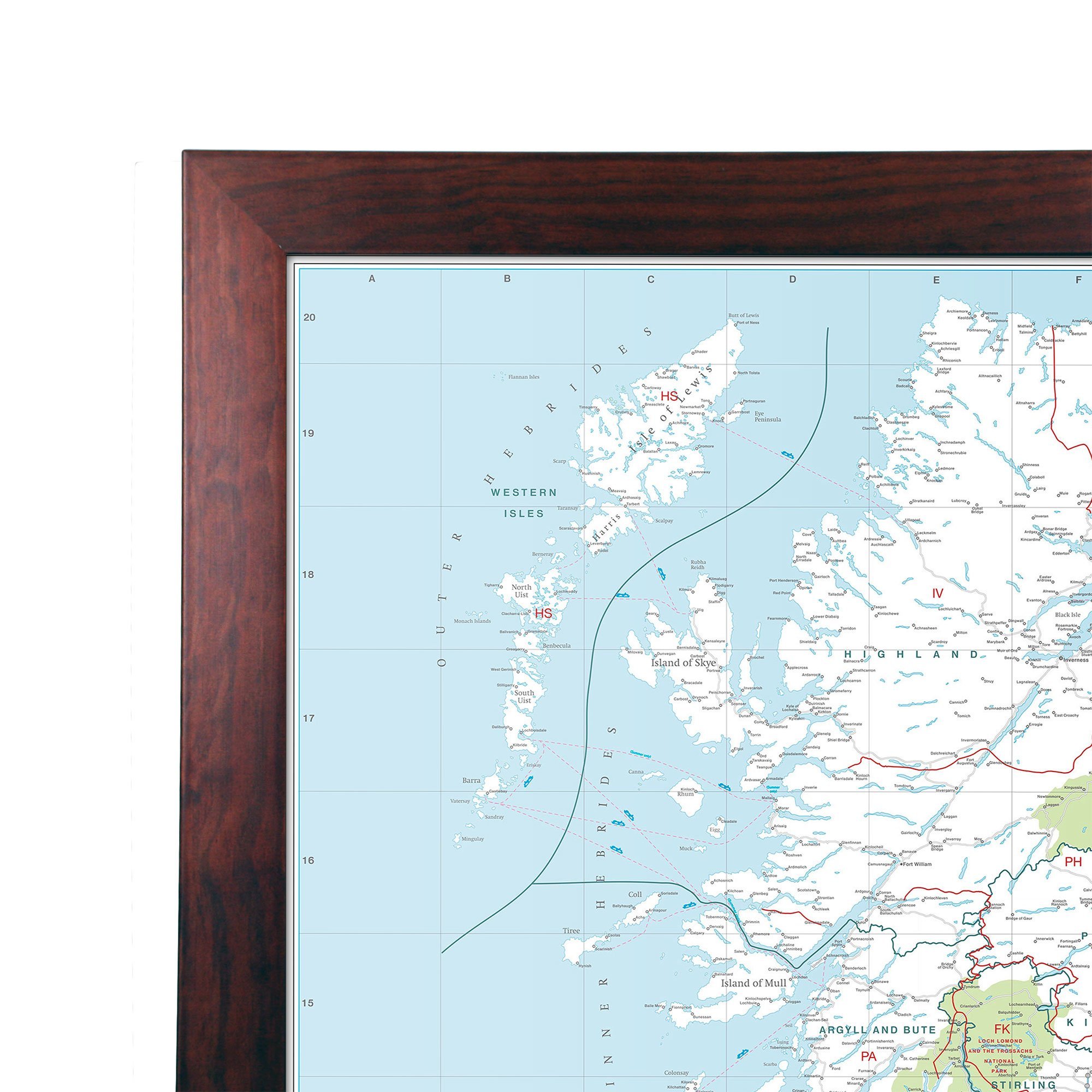
UK Postcode Wall Map, Laminated Large Wall Map, 120cm X 83cm, Clearly Shows Postcode, County And District Boundaries: This Huge Map Is Bonded Between Two Sheets Of Crystal Clear Plastic And Framed In A Dark Wood. suitable for Offices Businesses Schools And Homes. This Map Shows All UK Postcodes Including Northern Ireland, Scotland And Wales, Up-to Date County, District And Unitary Authority Boundaries.
Key features
- This Huge Map Is Bonded Between Two Sheets Of Crystal Clear Plastic And Framed In A Dark Wood. suitable for Offices Businesses Schools And Homes
- This Map Shows All UK Postcodes Including Northern Ireland, Scotland And Wales, Up-to Date County, District And Unitary Authority Boundaries
- Suitable For Business Planning This Map Includes Motorways, Motorway Junction Markers, Primary Roads, Town And City Stamps
- Material: Laminated With Dark Wood Frame
Product specifics
- Brand: Map Marketing
- Category: Educational Charts & Posters
- Material: Laminated With Dark Wood Frame
- Part number: BIPA