
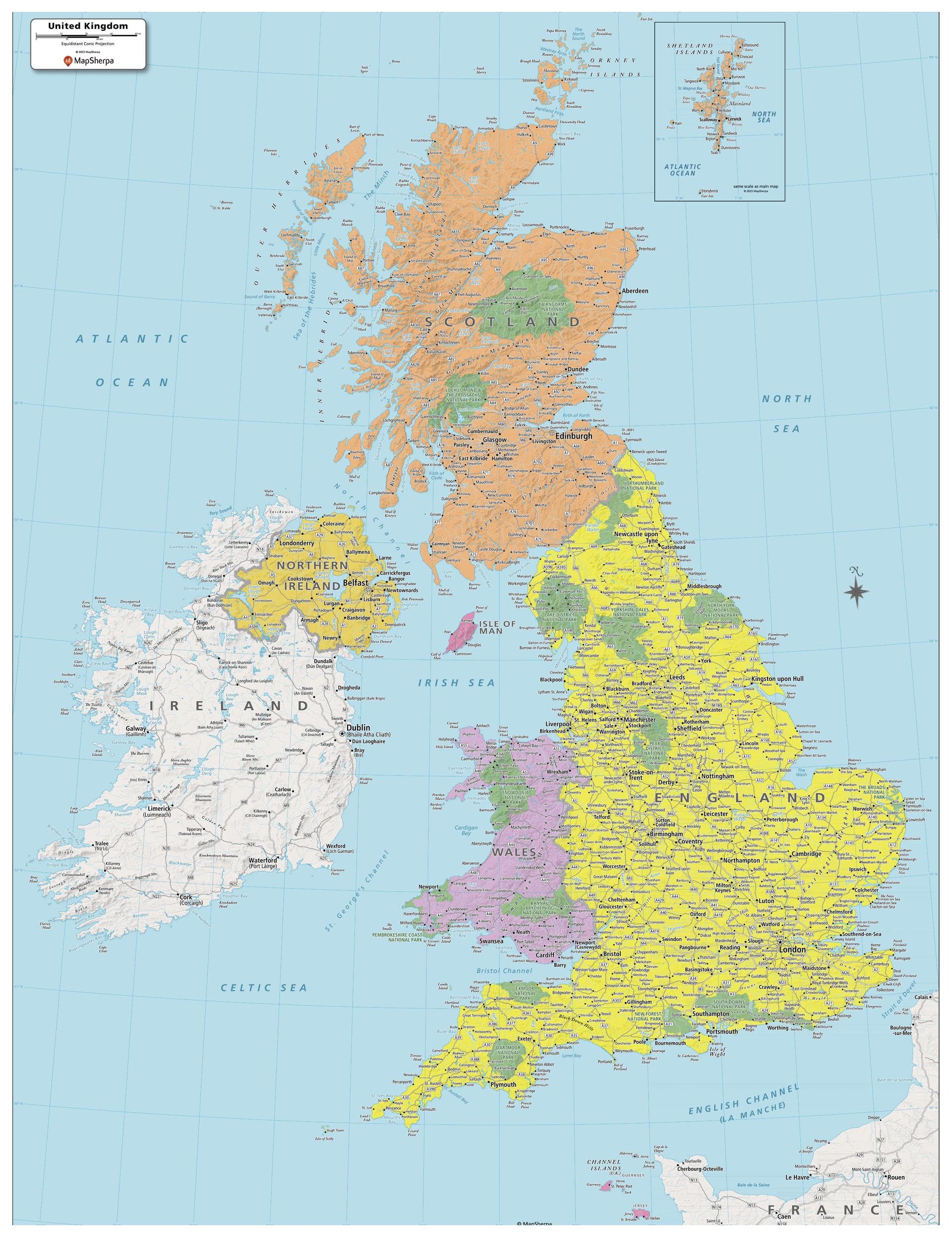
MapSherpa: UK Political Wall Map – Extra Large – 102 x 132 cm Poster – Front Lamination

$146.99

  • HIGH QUALITY PRINT: Your laminated map has a glossy finish so that you can use dry erase markers on the map to highlight features, make plans, and share unique information with others. Lamination is also extremely durable, resistant to folding or ripping
  • SCALE: 1:896,969
  • ROLLED IN A STURDY TUBE: Your map is rolled and packaged in a sturdy tube to protect it during shipment
  • ALWAYS CURRENT: The world is always changing, and we strive to keep this map updated with these changes

Out of stock

  • International Express shipping available
  • 30 day easy returns
Guaranteed Safe Checkout

Description

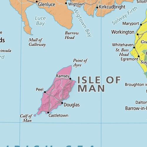
This United Kingdom Political Map shows all the countries and island that make up the UK. The map shows the Shetland Islands in the extreme north, all the way to the Channel Islands in the south. All major cities are noted, as well as National Parks and primary physical features such as mountain ranges, rivers, and lakes. Note, the Republic of Ireland, is not part of the UK, but is fully featured on this map.

Your laminated map has a glossy finish so that you can use dry erase markers on the map to highlight features, make plans, and share unique information with others. Lamination is also extremely durable, resistant to folding or ripping. Your map is rolled and packaged in a sturdy tube to protect it during shipment.

Additional information

Weight 0.4 kg
Brand

MapSherpa

EAN

0697942191899

UPC

697942191899