Description
Details
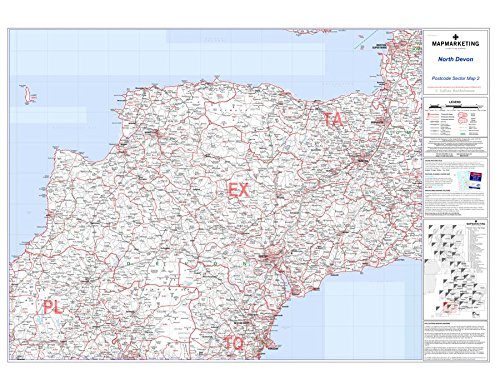
North Devon Postcode Sector Wall Map- Postcode Sector Map 2, Laminated Wall Map With Motorway, A' Roads, B' Roads, City Plans: 🔎 This map features detailed information about motorways, 'A' roads, 'B' roads down to unclassified roads, as well as area, sector, district, county and unitary authority boundaries. 🗺️ This map covers East Anglia with the following geological coverage -North = Weston-Super-Mare, South = Torquay, East = Ilminster, West = Lundy.
Key features
- 🔎 This map features detailed information about motorways, 'A' roads, 'B' roads down to unclassified roads, as well as area, sector, district, county and unitary authority boundaries
- 🗺️ This map covers East Anglia with the following geological coverage -North = Weston-Super-Mare, South = Torquay, East = Ilminster, West = Lundy
- Suitable for educational charts & posters use
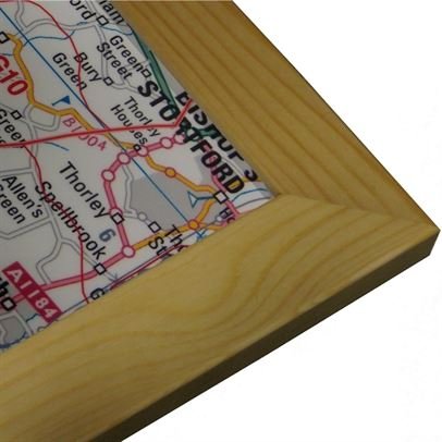
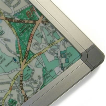
- Material: Aluminium Frame
Product specifics
- Brand: Map Marketing
- Category: Educational Charts & Posters
- Material: Aluminium Frame
- Part number: S2-AL