
Description
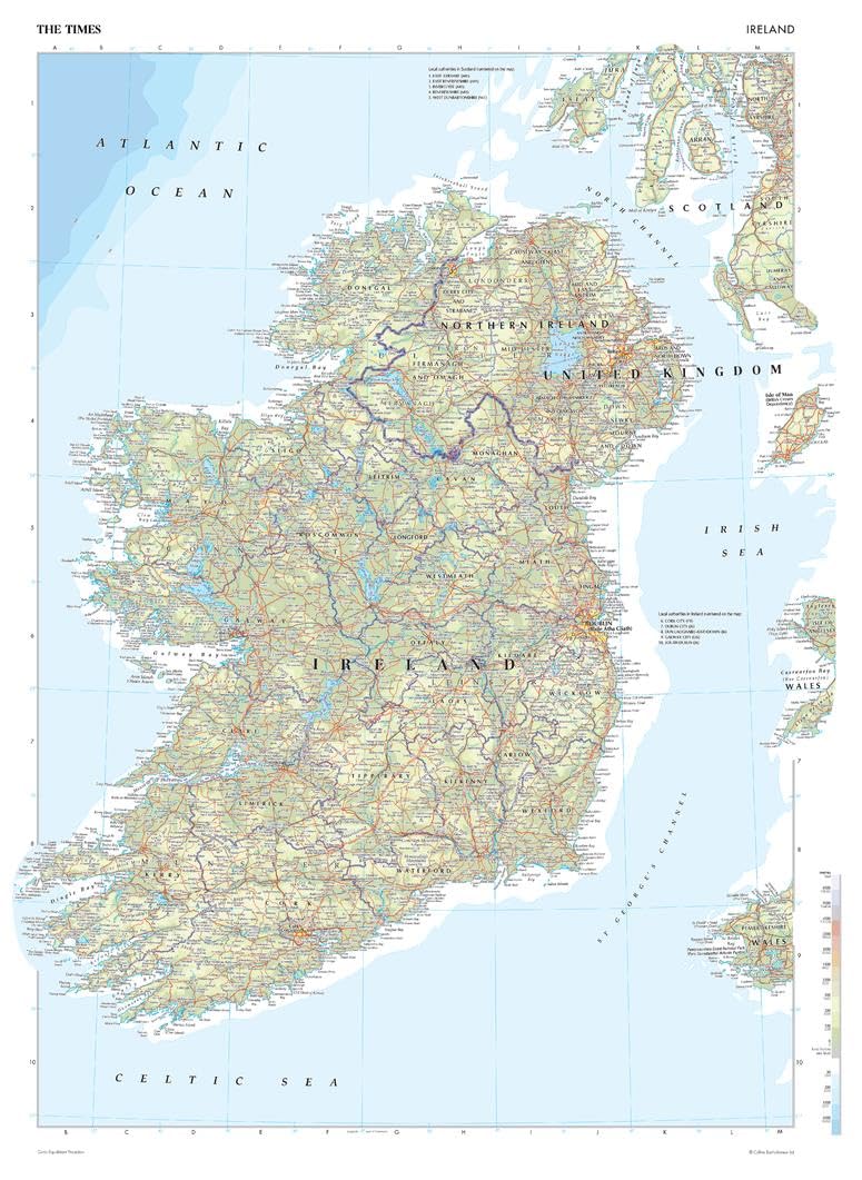
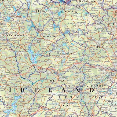
This map of Ireland is a benchmark of cartographic excellence, taken from the industry leading Times Comprehensive Atlas of the World. There is a high level of detail packed into the map, yet the positioning of every element is carefully chosen to make the map coherent and attractive. Clear border between Ireland and Northern Island and further divisions to indicate county boundaries. Capital cities Dublin and Belfast are easily identifiable, as are other major cities including Cork and Londonderry. Supplementary mapping shows the Isle of Man, and the west coasts of Wales and Scotland. Each element is carefully chosen to make the map a coherent and attractive visual guide to Ireland. Page Size: 16.25 x 22.25 in (410 x 561 mm)
Your laminated map has a glossy finish so that you can use dry erase markers on the map to highlight features, make plans, and share unique information with others. Lamination is also extremely durable, resistant to folding or ripping. Your map is rolled and packaged in a sturdy tube to protect it during shipment.