
Description
Details
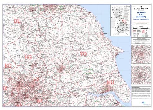
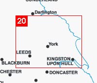
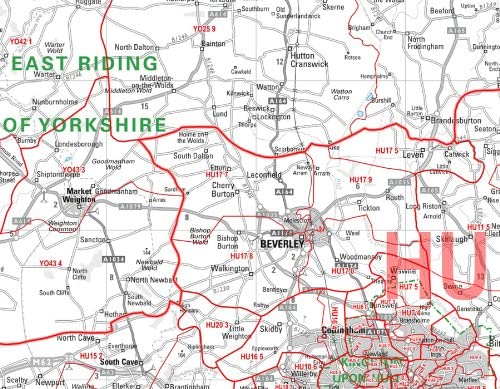
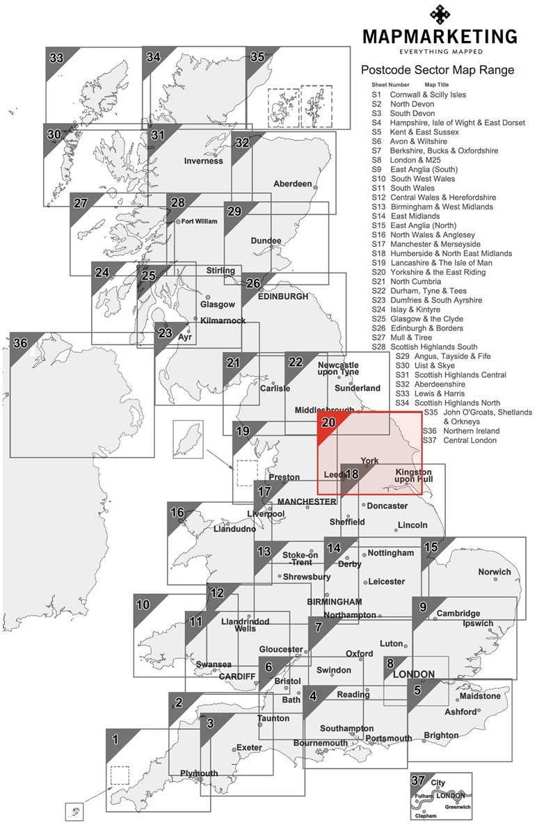
Yorkshire & East Riding LEEDS/BRADFORD, Postcode Sector Map 20, Wall Map With Motorway, A' Roads, B' Roads, City Plans, Area: The scale of 1:150,000 (1 inch to 2.4 miles) ensures accuracy and precision in representing geographical features and locations, allowing users to navigate with confidence. Suitable for maps use.
Key features
- The scale of 1:150,000 (1 inch to 2.4 miles) ensures accuracy and precision in representing geographical features and locations, allowing users to navigate with confidence
- Suitable for maps use
- Colour: Clear
Product specifics
- Brand: Map Marketing
- Category: Maps
- Colour: Clear
- Model: S20
- Part number: S20